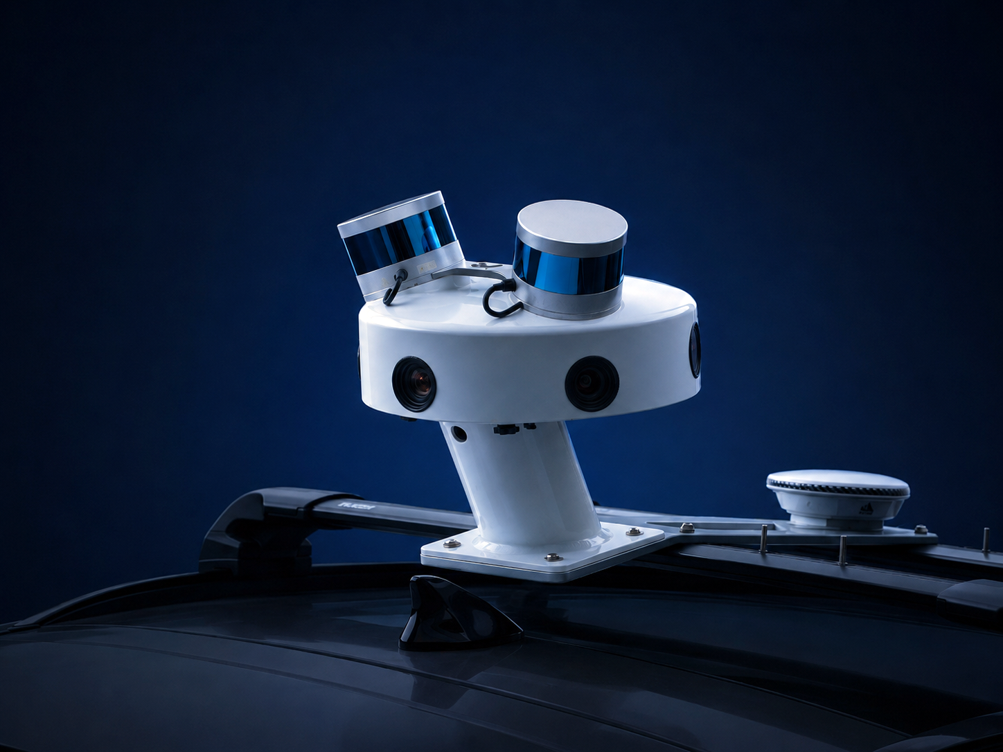

Street-level data provides the foundation for autonomous vehicles, humanoid robots, drones, and Physical AI.
Using our proprietary SYMBO multi-sensor platform, we capture high-density LiDAR, ultra-high-resolution imagery, and precision positioning to create accurate digital representations of roads, infrastructure, and urban environments, at city, regional, and national scale.
We deliver street-level data through custom data collection projects worldwide or on demand across the United States through our SYMBO Network, providing immediate access to continuously expanding street-level datasets.
Built for AI. Engineered for reality.
Our street-level data supports:
- Autonomous Vehicles
- Robotics Localization
- Digital Twins
- HD Mapping
- Change Detection
- Infrastructure Asset Management
- AI Training & Simulation
Multi-modal 3D mapping
San Pedro Square, San Jose
Choose the delivery model that best fits your project.
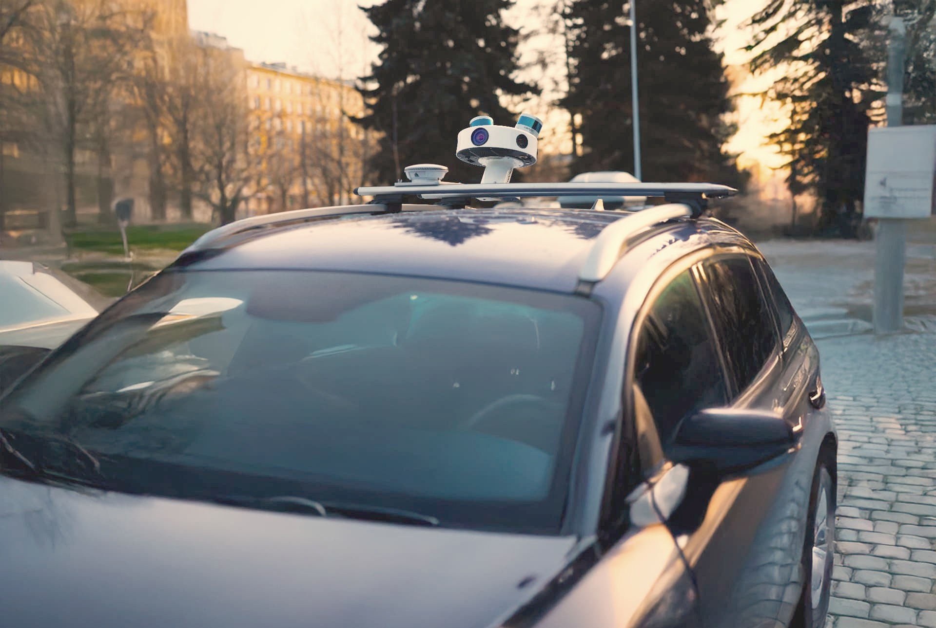
Custom capture programs delivered anywhere in the world using our global fleet and experienced operations teams.
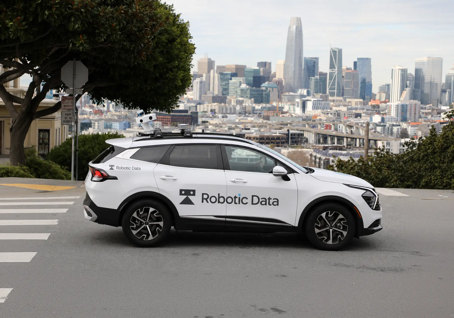
Rapid access to continuously growing street-level data across the United States, reducing collection times and accelerating AI development.
Whether you need raw sensor data or production-ready datasets, we deliver in the format that fits your workflow.
- Raw LiDAR & imagery
- Registered point clouds
- Vector & semantic data
- 360° imagery
- USD & GeoJSON
- Gaussian Splats
- Cloud-hosted digital twins
Our proprietary multi-sensor platform combines
- High-density LiDAR
- 72MP panoramic imagery
- Precision GNSS/INS positioning
- Time-synchronized sensor capture