

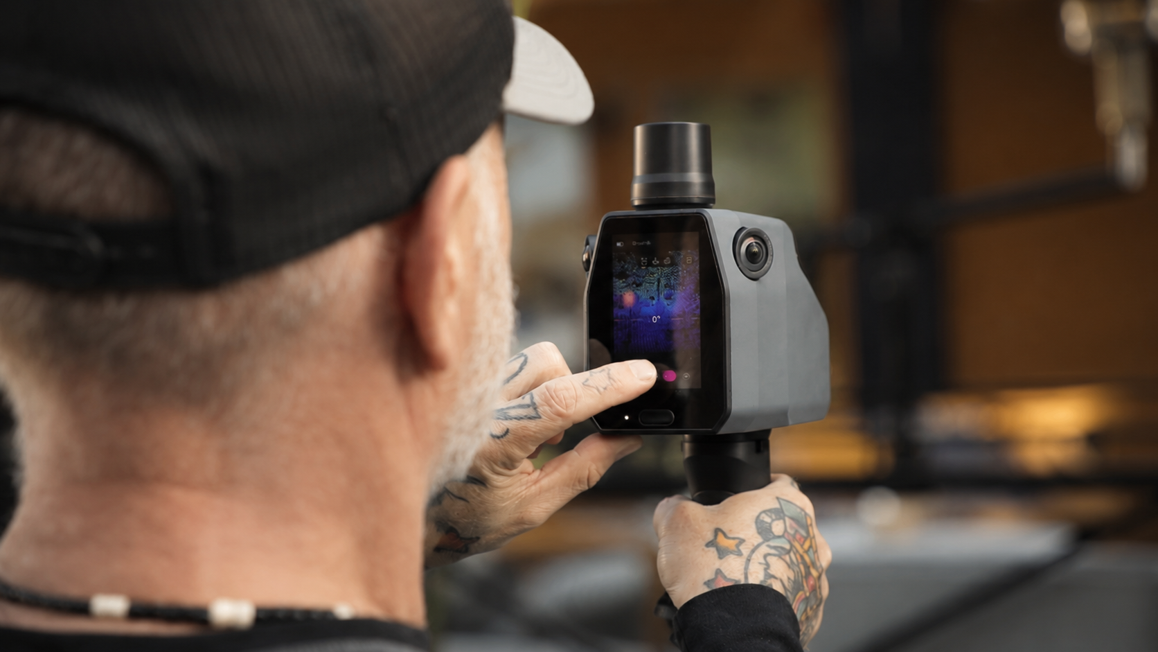
Not every environment can be captured from a vehicle or the air.
Our pedestrian and indoor mapping systems capture the spaces where people live, work, shop, travel, and interact. Using portable LiDAR and imaging platforms, we create high-detail digital representations of complex indoor and pedestrian environments with survey-grade accuracy.
Designed for robots that operate where people do.
Our pedestrian and indoor data supports:
- Humanoid Robots
- Autonomous Mobile Robots (AMRs)
- Warehouse Automation
- Digital Twins
- Indoor Navigation
- AI Training & Simulation
- Facility & Campus Mapping
Our portable mapping platforms are designed for environments that vehicle-based systems can't reach, including:
- Campuses
- Airports & Transit Stations
- Shopping Centers
- Hospitals
- Warehouses & Factories
- Public Spaces
- Commercial Buildings
From a single facility to enterprise-scale portfolios, we deliver consistent, high-quality datasets for Physical AI.
One unified digital representation of the physical world.
Pedestrian and indoor data integrates seamlessly with our street-level and aerial datasets, creating a unified digital representation of the physical world.
Together, they provide robots with the spatial context needed to navigate continuously between outdoor and indoor environments.
3D Gaussian Splatting
SAP Center, San Jose
Whether captured as a standalone project or as part of a larger digital twin initiative, our pedestrian and indoor datasets are delivered in the formats your robotics, AI, and GIS workflows require.