


Aerial data provides the large-scale spatial context that powers Physical AI, digital twins, and geospatial intelligence.
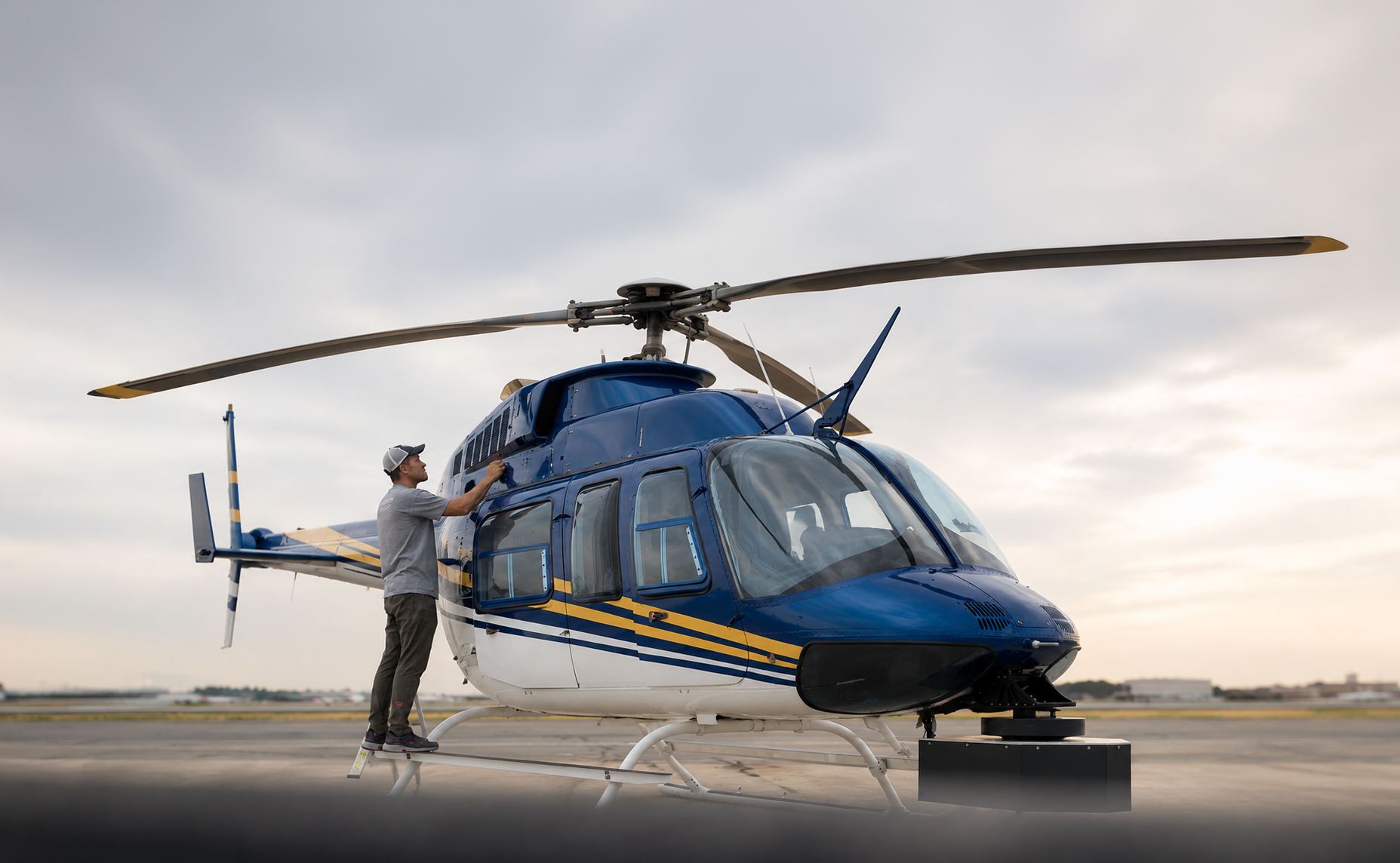
Using fixed-wing aircraft, helicopters, and drone platforms, we capture high-density LiDAR and high-resolution aerial imagery across cities, regions, and entire countries. The result is accurate, survey-grade datasets that provide a complete understanding of the built and natural environment.
Designed for scale. Built for AI.
From individual sites to nationwide programs.
Our aerial capture capabilities support projects ranging from individual sites to nationwide programs, delivering rapid, cost-effective coverage across diverse terrain.
Applications include:
- Digital Twins
- Terrain & Surface Modeling
- Drone Risk Modeling
- Infrastructure Mapping
- Change Detection
- Asset Inventory
- AI Training & Simulation
Most powerful when combined with street-level and pedestrian capture.
Aerial data is most powerful when combined with street-level and pedestrian capture.
Together, these complementary datasets create seamless, multi-scale digital representations of the physical world, giving robots and AI systems the context they need to perceive, navigate, and understand complex environments.
Choose the data products that best fit your workflow.
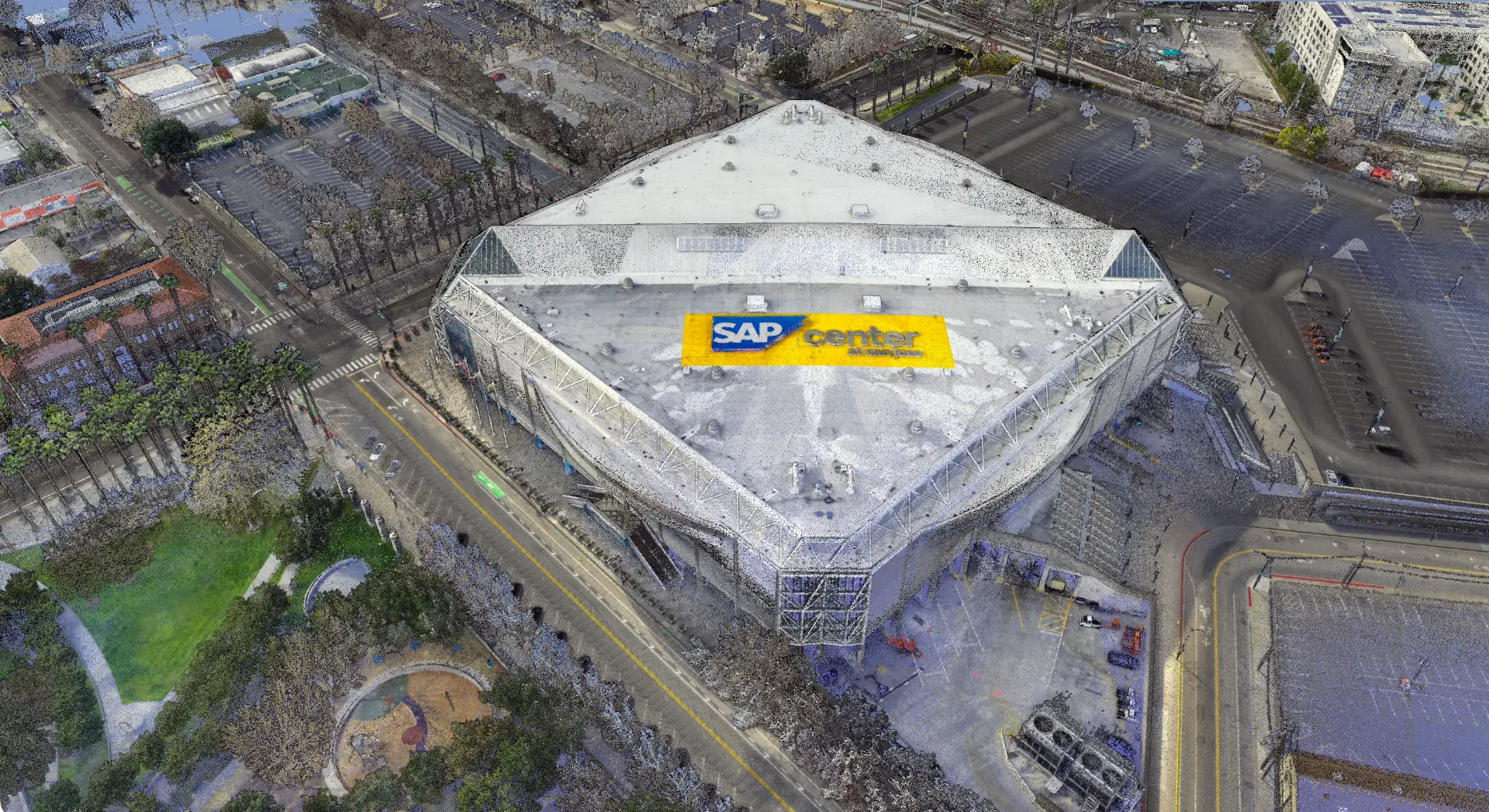
High-density LiDAR point cloud
SAP Center, San Jose
- High-density LiDAR point clouds
- Orthophotography
- Digital Elevation Models (DEM)
- Digital Surface Models (DSM)
- Classified LiDAR
- GIS-ready vector layers
- 3D terrain models
- Custom deliverables