

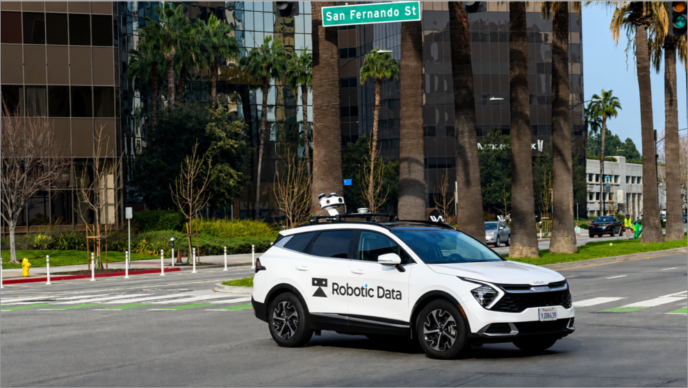
Street-Level Data
High-definition LiDAR and imagery for roads, cities, and transportation infrastructure.
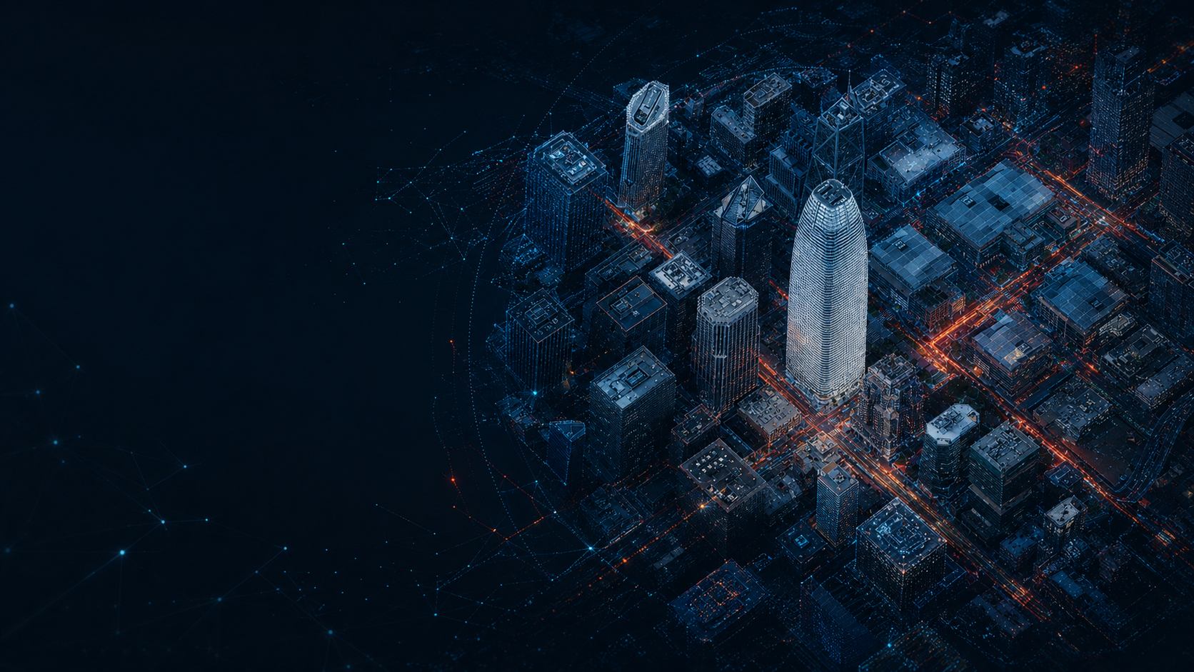
Every intelligent robot begins with an understanding of the world around it. World Data is the spatial intelligence that enables autonomous vehicles, humanoid robots, drones, industrial robots, and Physical AI systems to perceive, navigate, and operate safely in the real world. At Robotic Data, we create high-fidelity, multi-modal datasets that combine LiDAR, high-resolution imagery, and rich semantic information into accurate digital representations of the physical world. Our data captures not only geometry, but also the objects, infrastructure, and environmental context that robots need to understand, reason, and act.
From individual facilities to entire countries, our datasets are built for AI systems operating at real-world scale.
No single viewpoint can fully represent the physical world. That's why our World Data platform combines multiple capture methods into one unified dataset.
High-definition LiDAR and imagery for roads, cities, and transportation infrastructure.
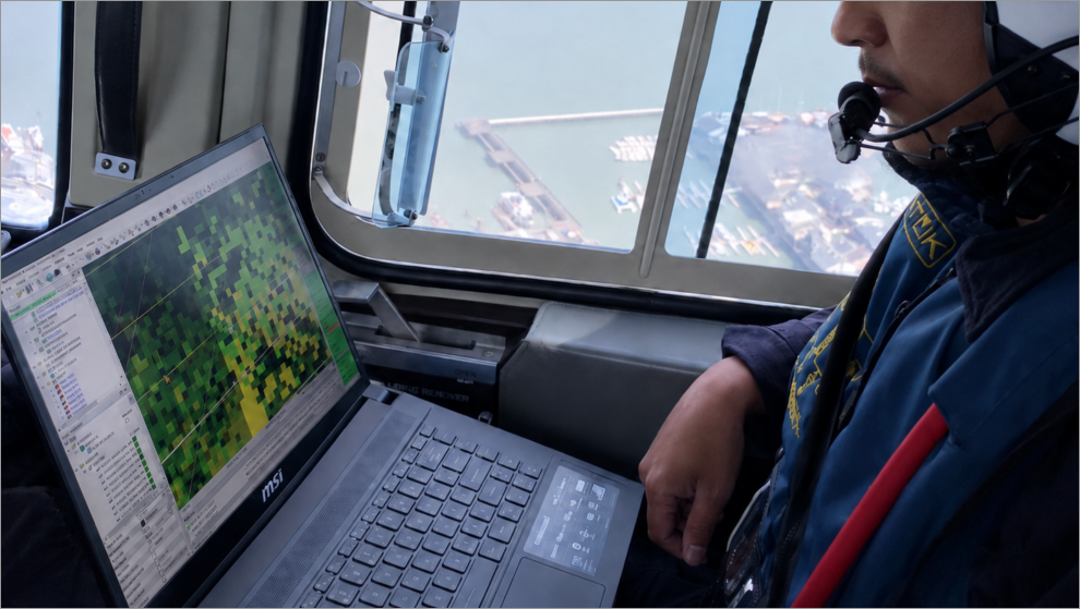
Large-scale mapping and 3D reconstruction from the air.
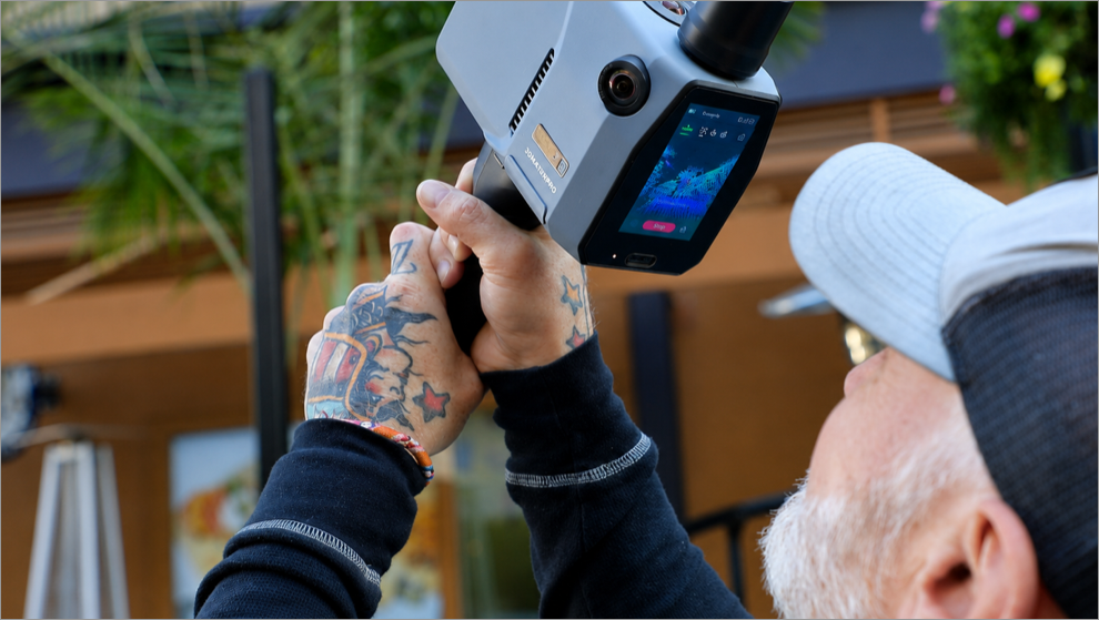
Human-scale capture of sidewalks, public spaces, campuses, and complex urban environments.
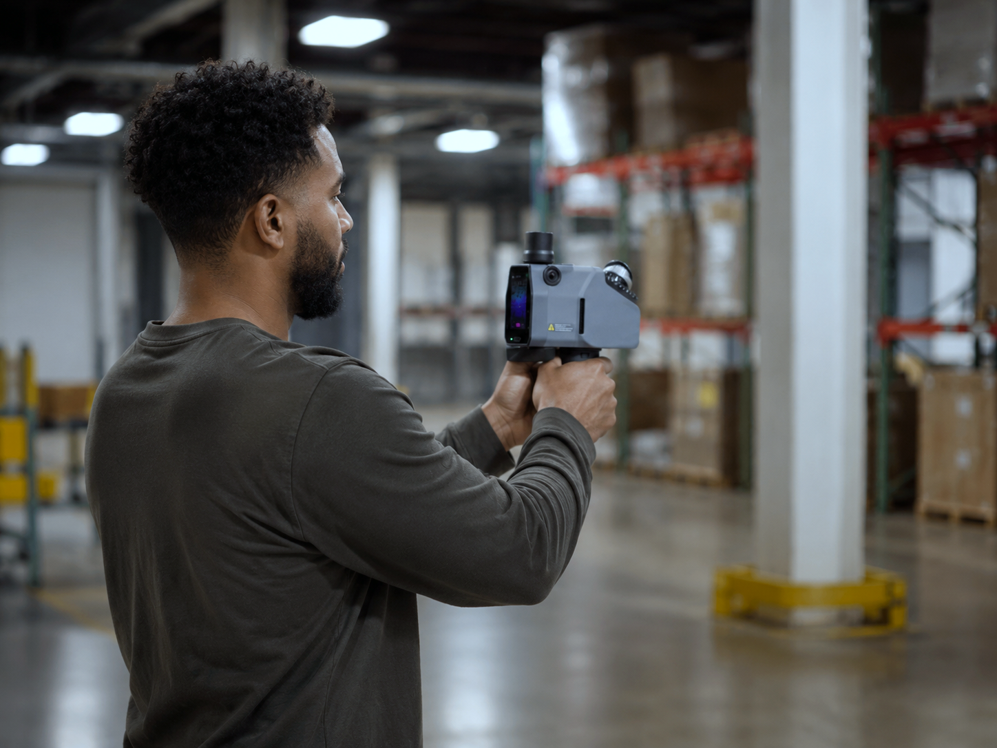
Detailed mapping of warehouses, factories, industrial facilities, and other mission-critical environments.
Together, these perspectives create a complete digital understanding of the physical world, supporting perception, localization, navigation, simulation, and autonomous decision-making.
Whether training perception models, validating autonomous systems, or building digital twins, World Data provides the real-world intelligence that Physical AI depends on.
For more than eight years, Robotic Data has delivered some of the world's largest spatial data programs, mapping entire countries and capturing 1000s of petabytes of data across 26 countries for many of the world's leading technology companies.